




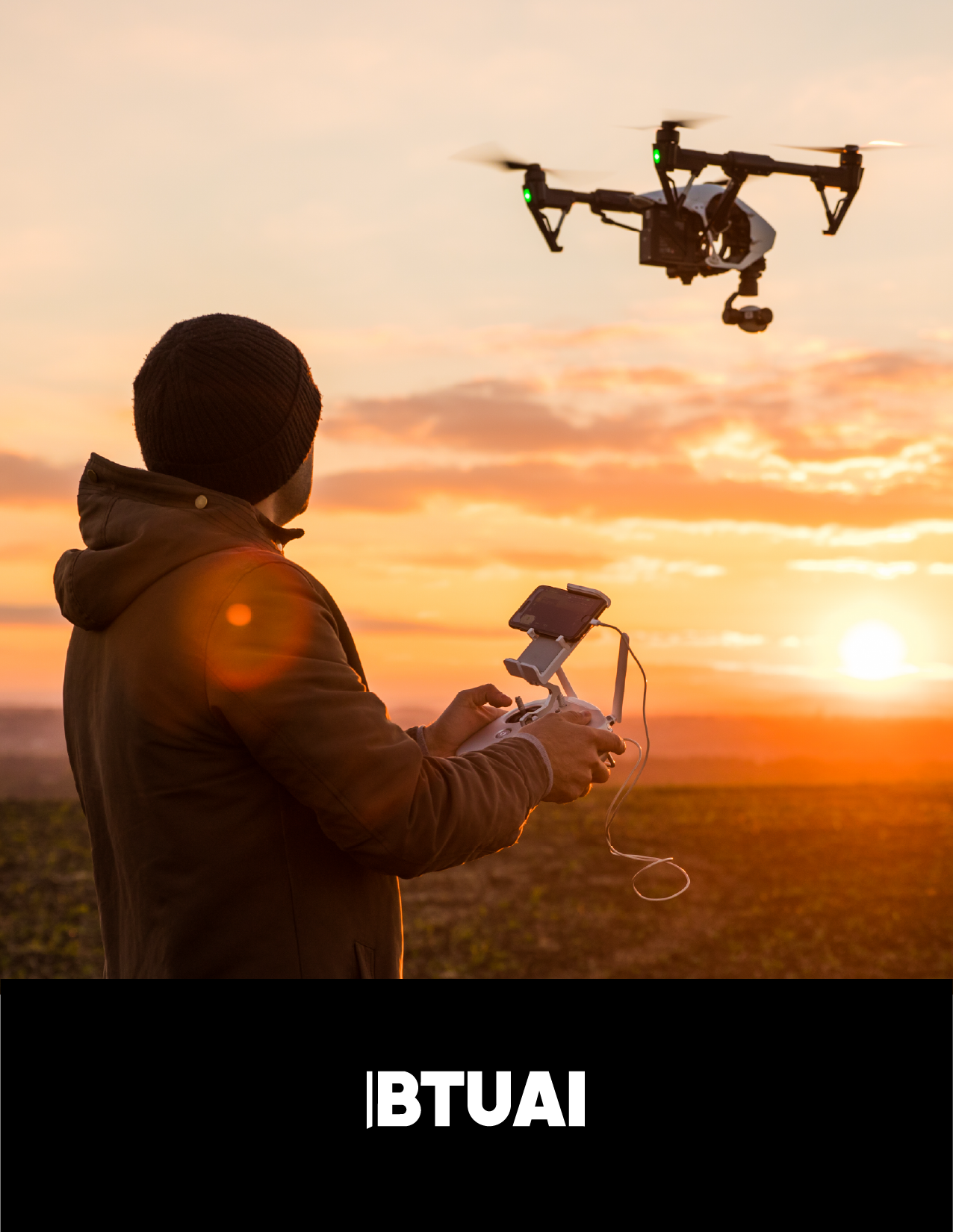
Discussion about drones often centers on the aircraft: range, altitude, endurance and camera quality. The more important economic question is different: what problem does the system solve, what data does it produce and who makes a better decision because of that data? For a farmer, a drone can help identify crop stress. For an infrastructure agency, it can support inspection of a bridge or unstable slope. For rescuers, it can extend vision and communications in difficult terrain. For the state, it can form part of critical-infrastructure resilience and defence capabilities.
Georgia’s realistic position in the drone economy is unlikely to begin with mass production of low-cost airframes. That market already rewards manufacturers with scale, deep supply chains and strong price advantages. A more credible opportunity lies higher in the value chain: mission-specific systems integration, sensor payloads, geospatial analytics, artificial intelligence, maintenance, operator training, and testing capabilities designed for complex terrain.
Drones are also a classic dual-use technology. The same thermal sensor, communications module or autonomous navigation software may support wildfire detection, search and rescue, infrastructure monitoring or defence. Developing the sector therefore requires more than startups and engineers. It requires aviation safety, cybersecurity, privacy protection, responsible procurement, end-use controls and clear governance for high-risk operations.
A drone is not merely a product; it is decision infrastructure
Counting aircraft sold offers a poor measure of the drone economy. A flight creates limited value if its images never become a map, defect report, crop recommendation or emergency action plan. A complete service includes mission planning, lawful flight, appropriate sensor selection, secure data handling, processing, expert interpretation and integration of the result into the customer’s workflow.
This is where a small economy can compete. Georgia does not need to manufacture every motor, battery and chip. A local company can transform an imported platform into a Georgian solution: an early warning indicator for vineyards, a digital model of a landslide-prone slope, a thermal inspection of power infrastructure or a rapid wildfire-perimeter map. Revenue can come from recurring monitoring, analytics subscriptions, maintenance and outcome-based service contracts rather than a one-time aircraft sale.
World Bank research treats drones not as universal replacements but as complements to existing transport, inspection and data-collection systems. That distinction matters. A drone is economically useful where distance, terrain, safety risk or the value of time justifies its deployment. It should not be used merely because it is available.
Five areas of credible demand
Agriculture: make data accessible to smaller farms
FAO identifies crop and livestock monitoring, mapping and precision spraying among agricultural drone applications. For Georgia, the business model matters as much as the technology. In a landscape of small and fragmented farms, not every farmer needs to own an expensive aircraft. A regional or cooperative service can cover multiple holdings and deliver an answer rather than hundreds of images: where water stress appears, which area shows a possible disease signal and where an agronomist should inspect in person.
A drone cannot replace agronomy. Similar visual signals can have different causes, while spraying introduces environmental, safety and regulatory requirements. Georgian agricultural value should therefore be built around a “drone + agronomist + analytics” model. Early applications may be most credible in mapping, crop counts, irrigation diagnostics and insurance documentation before more complex autonomous operations are scaled.
Infrastructure: assist the engineer rather than replace inspection
Bridges, roads, railways, energy lines, dams, construction sites and unstable slopes require periodic inspection. The U.S. Federal Highway Administration notes that unmanned systems can support parts of an inspection, collect data in hard-to-reach areas and reduce time spent near live traffic or at height. It also stresses that a drone cannot perform all physical inspection tasks, such as tactile testing of materials.
Georgia should therefore use drones to help engineers prioritize, not to remove them from the process. Repeated flights can compare images and three-dimensional models of the same asset and highlight change. But this only creates institutional value when data follow common standards, remain in a usable archive and are linked to a stable asset identifier. Otherwise, each procurement produces new pictures without building long-term memory.
Wildfires: the most valuable minutes are early
A drone is not a magical firefighting device. Its core contribution is situational awareness: detecting hot spots with thermal cameras, mapping a perimeter, supporting assessment of smoke movement and identifying safer routes for crews. Copernicus materials show that post-fire assessment combines satellite, aerial and drone imagery. Georgia’s strongest model would combine these layers: satellites for wide-area awareness, drones for high-resolution local detail and ground teams for decisions and response.
The economic benefit extends beyond limiting burned area. Better data can support damage assessment, recovery planning, insurance documentation and prevention. Operations around fire remain demanding, however, because smoke, wind, temperature, other aircraft and communications loss require strict coordination and safety procedures.
Search and rescue: an eye and a communications relay
Mountains, valleys, avalanches, floods and damaged buildings create difficult operating environments. NIST research programs have explored optical search, image analytics, indoor operations without GPS and data relay where communications are degraded. For Georgia, this means a rescue drone can be more than a camera: it can contribute to situational awareness, localization and temporary connectivity.
Automated detection must remain subject to human verification. A thermal sensor can misread an object, and an algorithm can produce false positives. A rescue system needs clear rules for decision authority, storage and deletion of sensitive video, and coordination with other aviation.
Defence and critical infrastructure: dual use increases responsibility
In defence, drones support reconnaissance, monitoring of borders and assets, logistics, communications and situational awareness. This article does not address weaponization or tactical operation. The economic question is whether Georgia can develop secure, reliable and interoperable components and services that reduce human exposure and strengthen critical-system resilience.
NATO’s DIANA links dual-use innovation to accelerators, test centers, investors and end users. Its relevance for Georgia is that a promising prototype is not enough. Technology needs testing in realistic environments, cybersecurity assurance, trusted supply chains, interoperability and a responsible procurement path. A small country may create value through testing, integration and specialized software rather than full-platform manufacturing.
Where Georgian value can be created
According to BTU researchers, six connected niches appear most realistic for Georgia.
The first is sector-specific integration: combining a commercial platform, camera, thermal sensor, LiDAR, communications and software for one defined task. The second is geospatial data and AI analytics: turning imagery into maps, change signals and decision support. The third is operations, maintenance and repair, because customers value reliability more than a one-time demonstration.
The fourth is training and certification readiness: remote pilots, mission planners, data analysts, agronomists and engineers must work across disciplines. The fifth is testing in complex terrain. Mountains, valleys, wind, temperature variation and connectivity constraints can make Georgia a useful testing environment, provided operations occur in approved corridors under strict safety rules. The sixth is regional service export to the South Caucasus and other small markets with similar terrain.
This positioning means industrial policy should not pursue a “Georgian drone” at any cost. It should ask which component constitutes Georgian intellectual property: the algorithm, mission software, data model, payload integration, security module, operating procedure or sector expertise.
Rules are market infrastructure
The Georgian Civil Aviation Agency maintains a function for unmanned aircraft systems and publishes drone-related rules and services. The European framework separates open, specific and certified operations according to risk. The important policy lesson is proportionality: a routine low-risk operation should not be governed in the same way as a complex mission near people, urban areas or critical assets.
Businesses need predictable answers to four questions: where flight is permitted, what competence the operator needs, when authorization is required and who is liable for damage or data breaches. Digital airspace maps, clear restricted zones, insurance practices, incident reporting and inter-agency coordination are also necessary.
Regulation suppresses innovation when authorization is opaque and disproportionate. It creates a market when customers trust operators, insurers can price risk, investors understand the rules and authorities can permit controlled experimentation.
What should happen first
Georgia does not need dozens of demonstrations at once. A three-stage approach is more useful.
Stage one: map demand. Select a small number of recurring, measurable problems-for example vineyard monitoring, inspection of a defined bridge class, post-wildfire mapping and a rescue exercise. Establish the current cost, time, safety exposure and data quality.
Stage two: run a controlled pilot. Define airspace, data governance, accountable parties, success metrics and stop conditions in advance. Compare the technology with the actual current method, not an imaginary perfect alternative.
Stage three: procure and scale. Only after a successful pilot should institutions establish multi-year service contracts, data-interoperability requirements and local training obligations. Public procurement should buy an outcome, support and durable data-not only aircraft.
In parallel, Georgia needs a dual-use governance framework covering customer and end-use checks, supply-chain risk, cybersecurity, software-update control, logging, access to sensitive data and compliance with applicable export controls.
Risks that cannot be ignored
Cheap hardware does not mean cheap service. Reliable operations require pilots, insurance, batteries, calibration, software licenses, secure storage and specialist time. Attractive imagery is not automatically accurate measurement. A connected aircraft can also become a channel for cyberattack, loss of control or leakage of sensitive information.
Public trust matters. People should understand why a drone is flying, who records video and how long the data are retained. Transparent notice and data minimization can matter as much as aviation authorization in a civil inspection. Defence and critical-infrastructure operations require legitimate secrecy, making independent oversight and clear accountability even more important.
Conclusion
Georgia’s place in the drone economy is most likely to be found not in the aircraft alone but in the complete service: safe flight, appropriate sensors, local sector expertise, AI and geospatial analysis, professional interpretation and integration into decisions.
The country has credible demand in agriculture, infrastructure, wildfires, rescue and defence resilience. Demand, however, does not automatically create an industry. An industry emerges when rules, test environments, skilled people, trusted data, cybersecurity and paying customers operate together.
If Georgia only purchases imported hardware, much of the economic value will remain abroad. If it builds capabilities in integration, analytics, operations, maintenance, training and testing in complex environments, even a small domestic market can become a specialized regional asset. Georgia’s real opportunity is the transition from a drone as a device to a drone system as decision infrastructure.
Sources
- Georgian Civil Aviation Agency – Unmanned Aircraft Systems: https://gcaa.ge/უპილოტო-საჰაერო-ხომალდები/
- EASA – Civil Drones and Risk Categories: https://www.easa.europa.eu/en/domains/civil-drones
- FAO e-Agriculture – Exploring Agricultural Drones: https://www.fao.org/e-agriculture/news/exploring-agricultural-drones-future-farming-precision-agriculture-mapping-and-spraying
- U.S. Federal Highway Administration – UAS for Bridge Inspection: https://www.fhwa.dot.gov/publications/research/infrastructure/structures/bridge/21086/
- NIST – Unmanned Aircraft for Search and Rescue: https://www.nist.gov/news-events/news/2021/07/nist-prize-challenge-launches-research-unmanned-aircraft-search-and-rescue
- Copernicus – Wildfire Monitoring and Measurement: https://atmosphere.copernicus.eu/wildfire-impact-how-it-monitored-measured
- World Bank – Unlocking the Lower Skies: https://documents.worldbank.org/en/publication/documents-reports/documentdetail/800891621396276151
- NATO DIANA – Dual-use Innovation and Test Centres: https://www.diana.nato.int/